LiDAR Scanning (terrestrial + mobile)
A tripod-mounted scanner like the Leica RTC360, FARO Focus, or Trimble X12 captures the building point by point, accurate to 2-4 mm at 10-20 m. Mobile SLAM scanners like the NavVis VLX and Leica BLK2GO walk the building and hold 1-3 cm, trading precision for speed on large floorplates. This is the right method whenever the measurements feed design, construction, or engineering.
Typical range: a small commercial building (5,000-15,000 sq ft), point cloud only, runs $3,000-$8,000 with 1-2 days of fieldwork plus processing.
Read what a point cloud is and how to read one
Scan-to-BIM (LOD 100-500)
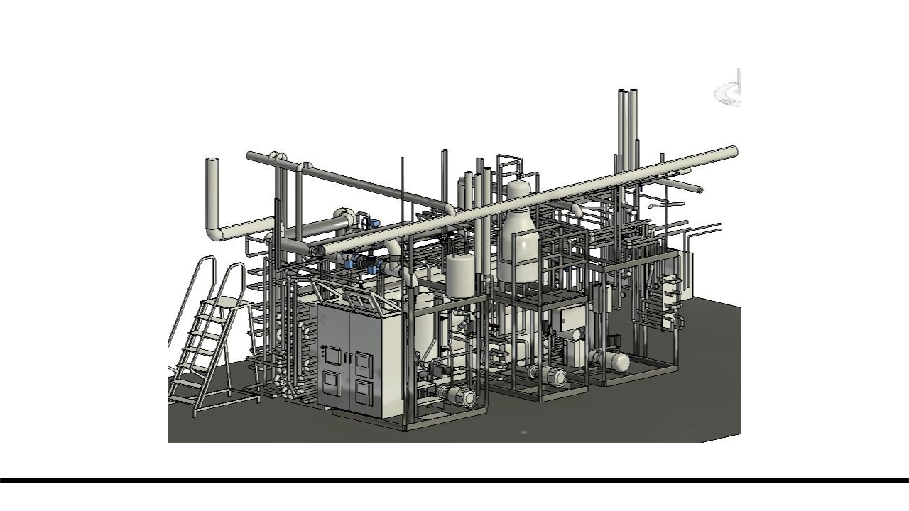
Scan-to-BIM turns a registered point cloud into a Revit model built to a specified Level of Development, most commonly LOD 200, 300, or 350 per the BIMForum specification. It is the right method when your design team needs a working as-built model, not raw measurement data.
Typical range: published rates span $0.10-$8.00+ per sq ft. A 50,000 sq ft office at LOD 300 runs $25,000-$80,000 over 2-6 weeks.
Read the scan-to-BIM explainer, including which LOD to spec
Learn more about building & interior scanning
Drone LiDAR + Photogrammetry
Drone platforms like the DJI Matrice, WingtraOne, and RTK-equipped Skydio capture exteriors, roofs, and large sites from the air. It is the right method for building envelopes, civil work, and any area a tripod cannot reach efficiently. Aerial capture pairs with terrestrial scanning on one mobilization when a project needs both.
Read the reality capture buyer's guide covering all four capture methods
Digital Twins / Matterport
Matterport capture produces a navigable visual walkthrough of a building, accurate to roughly 20 mm at 10 m. It is the right method when seeing the space matters more than measuring it: leasing tours, insurance documentation, remote stakeholder walkthroughs, facility familiarization.
Typical range: a capture runs $350-$2,000 and takes about half a day.
Read Matterport vs LiDAR before commissioning either
As-Built 2D Drawings
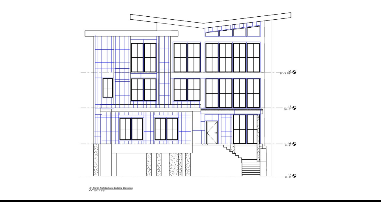
Scan-to-CAD drafting turns the point cloud into 2D deliverables: .DWG floor plans, elevations, and sections. It is the right method when your team needs drawings, not a 3D model, and it costs less than scan-to-BIM for the same building. Every dimension traces back to measured capture data, not tape-measure field notes.
Read the 2026 scanning cost guide, including cost by deliverable
Critical Incident Mapping
Critical incident mapping turns a school campus into standardized, labeled floor plans built for first responders. Every hallway, every exit, every room number, on one consistent map. Districts commission it from the same capture data used for facility documentation.
Typical range: multi-building campus and district capture programs run $100,000-$1M+ and span multiple months.
Critical incident mapping for schools, worship, and healthcare
Read where incident maps fit among the seven deliverables buyers purchase
Object & Part Scanning
Reality capture is not only for buildings. Structured-light scanning and close-range photogrammetry capture individual objects: machine parts, car components, molds, equipment, artifacts. The output is a precise digital model for reverse engineering, replacement fabrication, inspection, or archiving. When the original drawing no longer exists, the part itself becomes the drawing.
Learn more about object & part scanning
Topographic & Land Scanning
Drone LiDAR and photogrammetry capture land at acreage scale: topographic surfaces, site models, stockpile volumes, and pre-design terrain data. Deliverables arrive as contour drawings, surfaces for civil design, or point clouds. Where a licensed survey stamp is required, we bring in a licensed surveyor to provide it.
Learn more about land & site scanning
Dedicated pages for each service are on the way. Today every path starts at the same door: describe your project and we take it from there.