The cornerstone
One scan becomes everything: the derivation tree
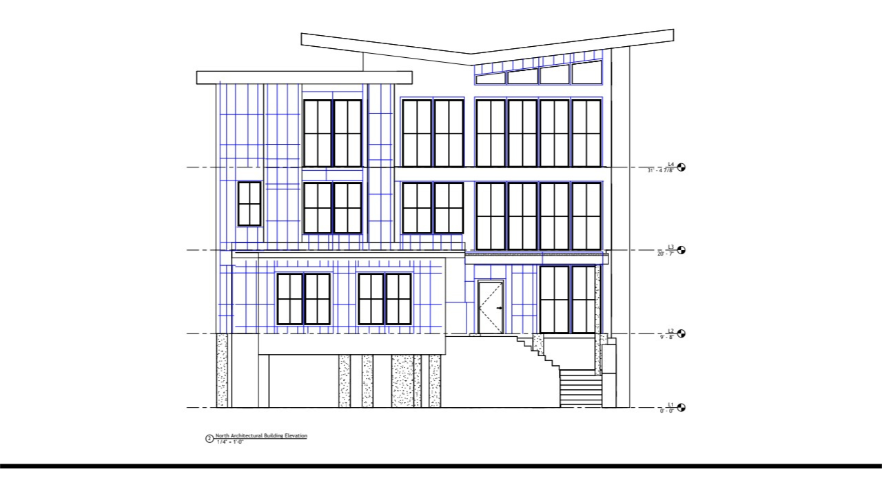
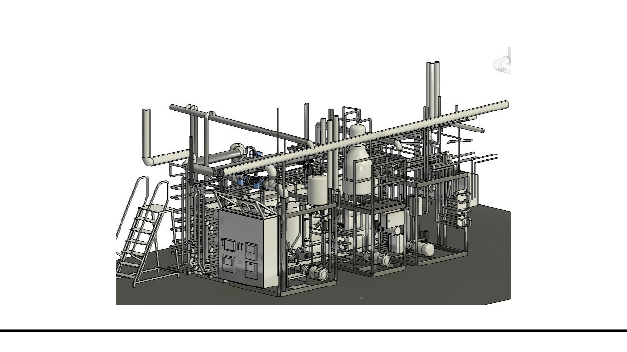
A single laser scan captures a place once at survey-grade accuracy. From that one dataset you derive 2D as-builts, Revit models at every level of development, incident maps, area exhibits, floor flatness heatmaps, fabrication geometry, and virtual walkthroughs, for years, without going back to the building. Read this first and the rest of the library falls into place.