HABS records buildings, HAER records engineering and industrial sites, and HALS records historic landscapes. All three are National Park Service programs, and the documentation they produce is archived at the Library of Congress, where the collection now holds more than two hundred thousand items. Formal documentation means measured drawings, archival photography, and a written history.
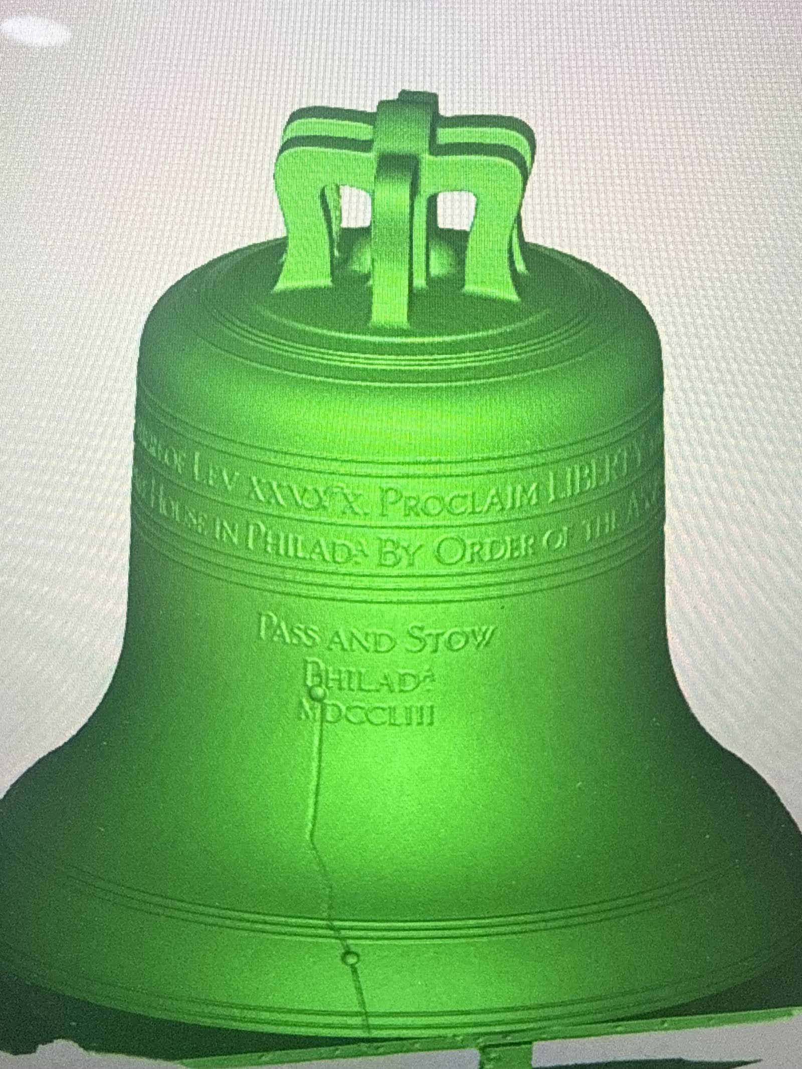
The Park Service accepts 3D laser scanning as a valid way to produce that documentation. Scanning does not replace the measured drawings, it feeds them. Survey grade scanners read a building to a few millimeters, which meets the accuracy the HABS levels call for, and the point cloud becomes the base for the CAD drawing set. When a project needs archival grade documentation, this is how it gets built.